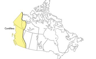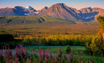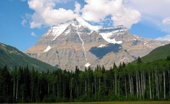
Mount Assiniboine, elevation 3618 m, the highest mountain between the Trans-Canada Highway and the US border in the Rocky Mts, is often called "The Matterhorn of the Canadian Rockies." Situated on the Continental Divide, 35 km south of Banff, its western slopes are in Mount Assiniboine Provincial Park, the eastern slopes in Banff National Park. It was named in 1885 after the Stoney natives by Dr G.M. Dawson of the Geological Survey of Canada. Father de Smet and his guides were probably the first white men to see the peak in 1845. After several other attempts to climb the peak, Sir James Outram, with Swiss guides, made the first ascent in 1901. It is an easy ascent by today's standards, but numerous accidents have occurred on the mountain.
-
- MLA 8TH EDITION
- Boles, Glen. "Mount Assiniboine". The Canadian Encyclopedia, 12 June 2015, Historica Canada. www.thecanadianencyclopedia.ca/en/article/mount-assiniboine. Accessed 21 November 2024.
- Copy
-
- APA 6TH EDITION
- Boles, G. (2015). Mount Assiniboine. In The Canadian Encyclopedia. Retrieved from https://www.thecanadianencyclopedia.ca/en/article/mount-assiniboine
- Copy
-
- CHICAGO 17TH EDITION
- Boles, Glen. "Mount Assiniboine." The Canadian Encyclopedia. Historica Canada. Article published February 06, 2006; Last Edited June 12, 2015.
- Copy
-
- TURABIAN 8TH EDITION
- The Canadian Encyclopedia, s.v. "Mount Assiniboine," by Glen Boles, Accessed November 21, 2024, https://www.thecanadianencyclopedia.ca/en/article/mount-assiniboine
- Copy
Thank you for your submission
Our team will be reviewing your submission
and get back to you with any further questions.
Thanks for contributing to The Canadian Encyclopedia.
CloseArticle
Mount Assiniboine
Article by Glen Boles
Published Online February 6, 2006
Last Edited June 12, 2015
Mount Assiniboine, elevation 3618 m, the highest mountain between the Trans-Canada Highway and the US border in the Rocky Mts, is often called "The Matterhorn of the Canadian Rockies."