Share on Facebook
 Share on X
 Share by Email
 Share on Google Classroom
Nicolet
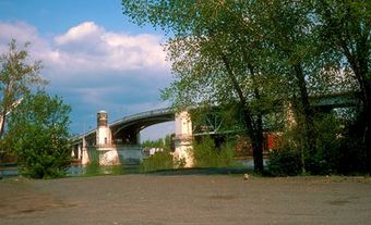
Nicolet, Qué, Town, pop 7827 (2006c), 7928 (2001c), inc 1872. Nicolet is situated some 3 km from the mouth of the Rivière Nicolet at the eastern end of Lac St-Pierre. Named for Champlain's associate, Jean NICOLLET, it grew slowly from its founding in the early 1700s. Although situated on a vast plain, Nicolet has taken a particular shape. Long blocked to the N by private institutional holdings and to the S by agricultural land, it grew only eastward, along the river and was thus subject to springtime flooding and often suffered from landslides.In the early 19th century it became a major agricultural town and an important crossroads for the townships of the S shore. With its economic activity based on the forest and dairy industries and retail commerce, Nicolet was increasingly the centre for back-country agricultural parishes. This was the town's golden age: several religious communities settled there and a diocese was formed in 1877. Its population at the time of the 1891 census was 2518.
In the 20th century, however, Nicolet failed to establish a viable industrial structure to match the economic growth in its hinterland. DRUMMONDVILLE, VICTORIAVILLE, PLESSISVILLE, Princeville and SHERBROOKE all industrialized with the help of American and British capital. Nicolet lost the title of regional capital and its intellectual and religious roles replaced its commercial one. Today, it is a small service centre.