Share on Facebook
 Share on X
 Share by Email
 Share on Google Classroom
Geography
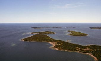
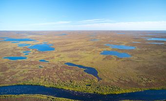
The largest lake in Nunavut and the tenth largest in Canada, Nettilling is fed by Amadjuak Lake and several other small lakes and streams. Composed of three bays (Mirage, Camsell and Burwash), its eastern half is dotted with numerous islands. The western half is deeper with no islands. The lake empties into Foxe Basin from its west shore via the very shallow Koukdjuak River.
Wildlife
Ice-covered for most of the year, only three species of fish have been recorded in its waters: Arctic char and two species of stickleback. The area around the lake and south to Amadjuak Lake is important for caribou.
History
The lake is located on the traditional territory of the Inuit. Franz Boas explored its southern shore in 1883. Between the years 1924 and 1926, J. Dewey Soper surveyed the area and south to Amadjuak Lake.