Share on Facebook
 Share on X
 Share by Email
 Share on Google Classroom
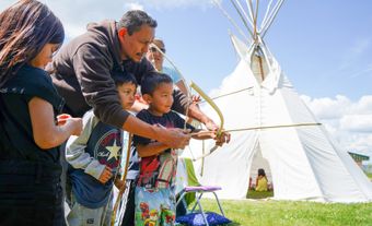
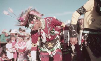
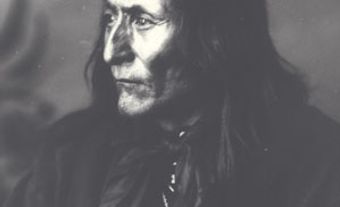
Indigenous Peoples and Treaties
Coaldale is located on the traditional territory of the Siksikaitsitapi (Blackfoot Confederacy), Stoney-Nakoda and Tsuut’ina. It is covered by Treaty 7, signed in 1877. Today, Kainai Nation’s primary reserve, Blood 148, is about an hour’s drive southwest of Coaldale. (See also Reserves in Alberta.)
Settlement and Development
Shortly after the construction of the Canadian Pacific Railway line through southern in the mid-1890s, the railway company named its first rail siding east (14 km) of Lethbridge, Coaldale. The name came from Coaldale Home, the residence of Elliot T. Galt. Galt was a prominent figure in Lethbridge’s early coal mining industry, rail interests and land development.
Economy
Irrigation farming on the shortgrass prairie, rather than coal mining, was the dominant economic activity in the Coaldale area. Shortly after the turn of the century, an irrigation company owned by Elliot T. Galt brought water and promised rich grain yields to prospective settlers. Many of these first farmers came from the United States. However, following the First World War a veteran resettlement scheme drew former soldiers from many countries to the wheatlands. This settlement was followed by the Mennonites starting in the mid-1920s, uprooted Japanese Canadians from British Columbia during the Second World War, and Dutch in the 1960s. The town today is a service centre for surrounding agriculture and a commuter community for Lethbridge.