Share on Facebook
 Share on X
 Share by Email
 Share on Google Classroom

Geography
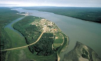
Along the Churchill River’s course are rapids, falls, narrow chutes, long placid stretches of smooth water, and — typical of rivers of the Canadian Shield — a chain of interconnected lakes. Many of the lakes are elongated in the dominant direction of the flow of the last continental ice sheet. The largest of these lakes are Southern Indian Lake (2,247 km 2), Peter Pond Lake (778 km2), Churchill Lake (559 km2), Granville Lake (490 km2) and Lac Île-à-la-Crosse (391 km2), where the river takes in its main tributary, the Beaver River (491 km).
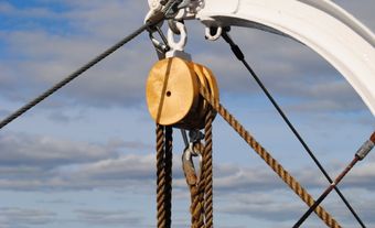
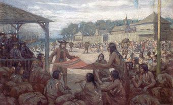
Fur Trade
The river was travelled by Cree and Denesuline, and Jens Munk wintered at its mouth in 1619–20. The Hudson’s Bay Company built a post near its mouth in 1717. It was called Churchill River, Churchill, and Churchill Factory until 1719, when the name was changed to Prince of Wales Fort. In 1782, the post was destroyed; Samuel Hearne re-established it some 8 km upriver. The North West Company began using the Churchill River after Joseph Frobisher established a trade link between it and the Montreal route via the Saskatchewan and Sturgeon Weir rivers and Frog Portage. He built a fur-trade post on Lac Île-à-la-Crosse in 1776, and soon many small competing posts were built along the river.
Hydroelectricity
A hydroelectric station at Island Falls, Saskatchewan, was built in 1929 to supply power to the mining region of Flin Flon, Manitoba. And, at the north end of Southern Indian Lake, an artificial diversion channel routes much of the river’s flow to the Nelson River for hydroelectric power generation. This last project was completed in 1976 after much political wrangling. One result of the much-reduced flow of the Churchill has been the large-scale environmental impact on fur-bearing animals, shorebirds, waterfowl and fish populations. In the late 1990s, the construction of a weir some 13 km from the river’s mouth raised the water level of a section of the river below Southern Indian Lake.